


Where is Rome located on the map
As a city of paramount historical significance and present-day cultural influence, Rome often finds itself on the bucket lists of globetrotters worldwide. But where is Rome located on the map? A quintessential question we will answer today. Let’s start this geographical journey from global covers and then narrow down to the exact locale.
Global Overview
Firstly, Rome is situated on the continent of Europe, which is composed of 44 countries and is the world’s second smallest continent. Europe is predominantly in the Eastern Hemisphere of the globe.
Rome in Europe
The continent boasts several world-renowned cities, but Rome stands out both for its historical importance and its geographical appeal. Rome is located in the southern part of Europe, in the country of Italy.
| Continent | Country | City |
|---|---|---|
| Europe | Italy | Rome |
The Specifics: Rome in Italy
Moving more narrowly down the geography scale, we find Rome situated in the central-western portion of the Italian Peninsula. Italy, conveniently shaped like a boot, straddles both southeastern and central Europe with coastline bordering the Mediterranean Sea. Rome, due to its location, has been aptly named as the heart of Italy.
The Latitudinal and Longitudinal Coordinates of Rome
The city locates on the geographical coordinates of 41.9028° N latitude and 12.4964° E longitude. This placement not only positions Rome conveniently for the totality of European travel, but also situates it near other significant locations of essential historical and modern-day importance.
| Latitude | Longitude |
|---|---|
| 41.9028° N | 12.4964° E |
Rome: Inside the City
Rome is furthermore dissected by the River Tiber, which adds an additional layer of geographical significance and aesthetic beauty to the cityscape. The river plays an important role in dividing the city’s historical sites from the modern urban areas.
Distinctive Locations Within Rome
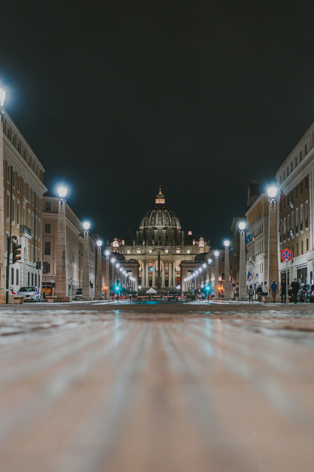
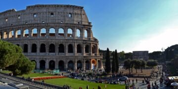
The vibrant city is home to notable landmarks that have upheld their historical and architectural significance over centuries. Rome’s landscape is decorated with famous spots like the Colosseum, the Roman Forum, and St. Peter’s Basilica to name a few.
Conclusion
In conclusion, the best place to locate Rome on the map is to start by finding the European continent, narrowing down to the country of Italy, and zooming in to the central-western part of the Italian Peninsula. You would then have found the ‘Eternal City’, Rome – a true masterpiece of history, culture, and geography seamlessly combined.
The Map Coordinates of Rome
The beautiful city of Rome, the capital of Italy and often referred to as the ‘Eternal City’, can be pinpointed on the global map at 41.9028° N, 12.4964° E. This geographic location indicates that Rome is situated in the Central part of the Italian peninsula, essentially on the western coast.
An Insight to Rome’s Geographic Features
Rome is located along the shores of the Tiber River, about 24 kilometers inland from the Tyrrhenian Sea. Sitting amidst the Lazio region of Italy, Rome significantly enjoys advantages of both the Mediterranean climate and the housing area of seven hills contributing to its strategic location.
Closer Look at Rome’s Proximity
Nearby Cities
The surrounding regions of Rome include notable Italian cities like Naples to the south, Florence to the north, and Bologna to the north-east. Due to its central positioning, Rome has been a hub for Italy’s road and rail network, making travel to and from these cities relatively quick and easy.
| City | Distance from Rome |
|---|---|
| Florence | 274 km |
| Naples | 225 km |
| Bologna | 372 km |
Interesting Proximity Facts
Rome is also located in proximity to two independent states – The Vatican City, an independent city-state enclaved within Rome, and San Marino, with 75 km (approx.) to the north-east of Rome. These enclaves make Rome’s location unique on the map as it shares its city boundary with an entirely different nation, Vatican City, enhancing its international appeal.
The Strategic Import of Rome’s Location
The location of Rome on the global map has played a crucial role in shaping its historic, political, and economic scenario. Its proximity to the river and sea facilitated trade and communication, making Rome a hot spot for settlement and later, an epicenter for the Roman Empire. Today, its central positioning continues to make it a hub for the European and International infrastructure.
Conclusion
Understanding where Rome is located on the map not only presents an insight into its geography, but also illustrates the city’s historical importance and contemporary relevance. Next time when you are looking Rome up on a map, you’ll appreciate more than just the coordinates.


